
The first half of yesterday was taken up by the flight from Brisbane to Port Moresby, the capital of PNG. We had a 9:30 a.m. departure, but needed to arrive at the Brisbane airport by about 7:00 a.m. since our tour director knew that things were going to take a while there. And. They. Did.
But – regardless – we made it here, arriving about 12:45; the plane was totally full, which surprised me a bit, as I just didn’t think – for whatever reason – that there’d be this many folks going. We had plenty of tourists, a few folks going to hike the Kokoda Track, an entire rugby team coming to play a match, and a handful of residents/locals returning home or to visit family.
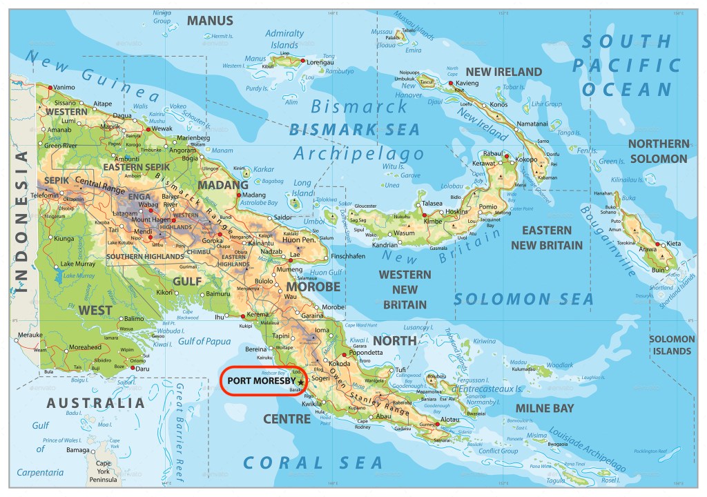
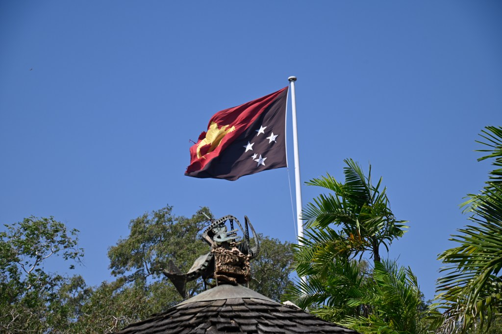
PNG is located on the second largest island (New Guinea) in the world (Greenland is the largest). The island also is considered the largest jungle covered island in the world. It’s divided east and west – the west part being part of Indonesia, while the eastern part – and some smaller islands further east – make up Papua New Guinea. Overall, it’s slightly larger than California, with a population of about 9m; that’s 0.11% (eleven hundredths of one percent) of the world’s population. But – amazingly enough – it has about 840-850 distinct indigenous languages, representing 12% of the total languages worldwide. It gained its independence in 1975 and is part of the Commonwealth of Nations. And – it has the second lowest urban population in the world (Burundi is first), while 40% of the population are subsistence farmers. The island’s hilly and mountainous jungle terrain, as well as its location on the Ring of Fire (resulting in earthquake and volcanic activity) means there is little infrastructure given the cost of implementing it. To that point, Port Moresby – where we arrived today – is almost always rated as one of the “top 10 most unlivable cities in the world” due to poor infrastructure, healthcare, and education. But – strategically – the island was a key battle ground during World War II, with Japan viewing it as the gateway to isolating Australia. As a result, in 1942, there was a protracted battle between the Japanese on one side, and the locals and Aussies on the other, known as the Kokoda Track Campaign.
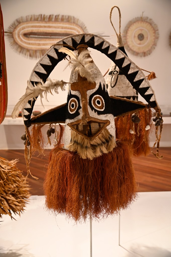
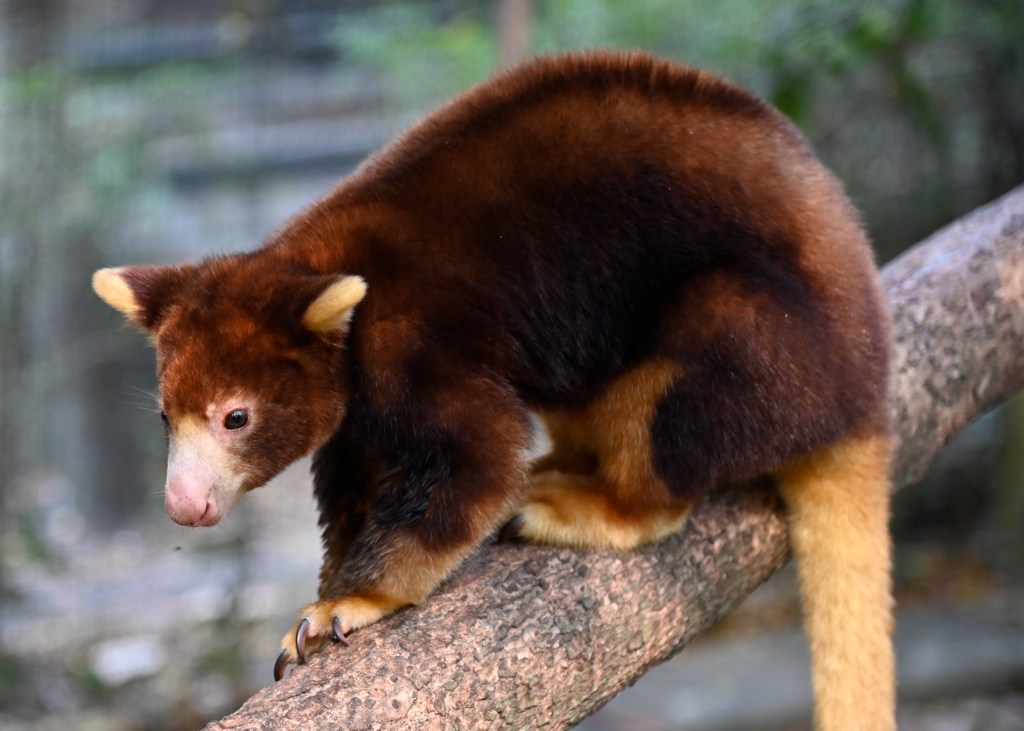
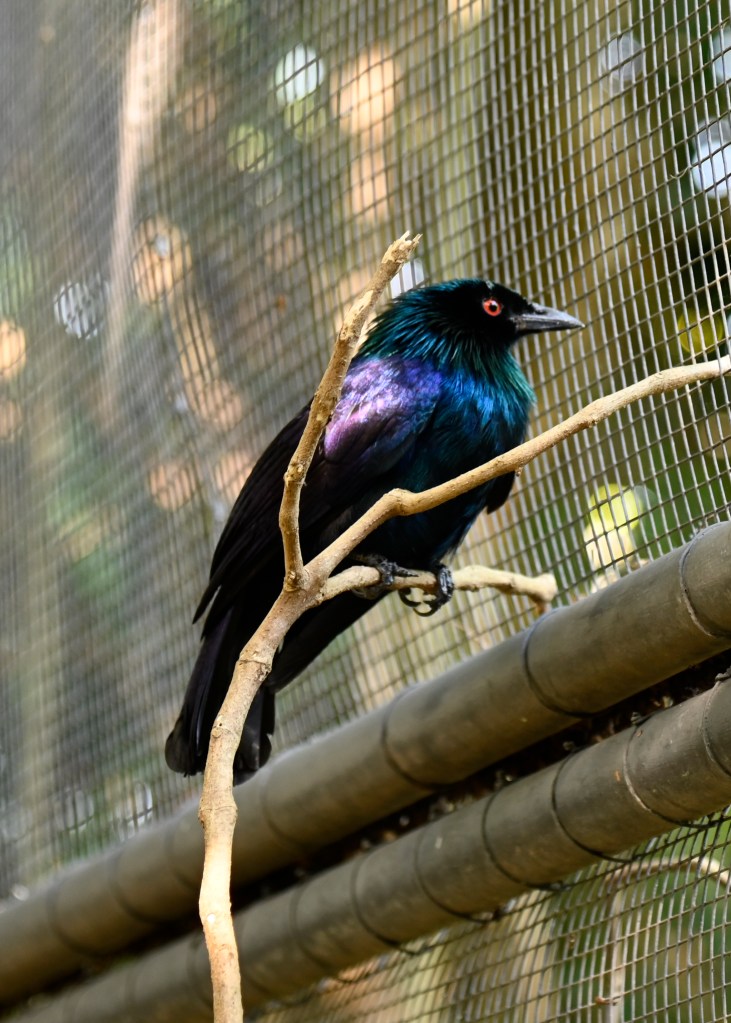
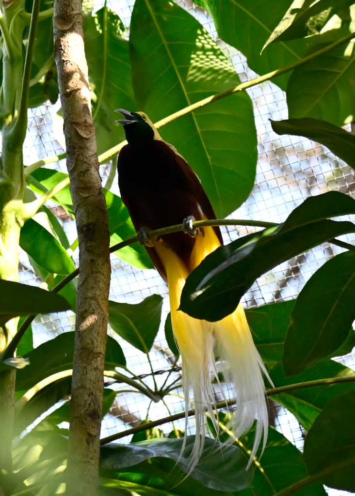
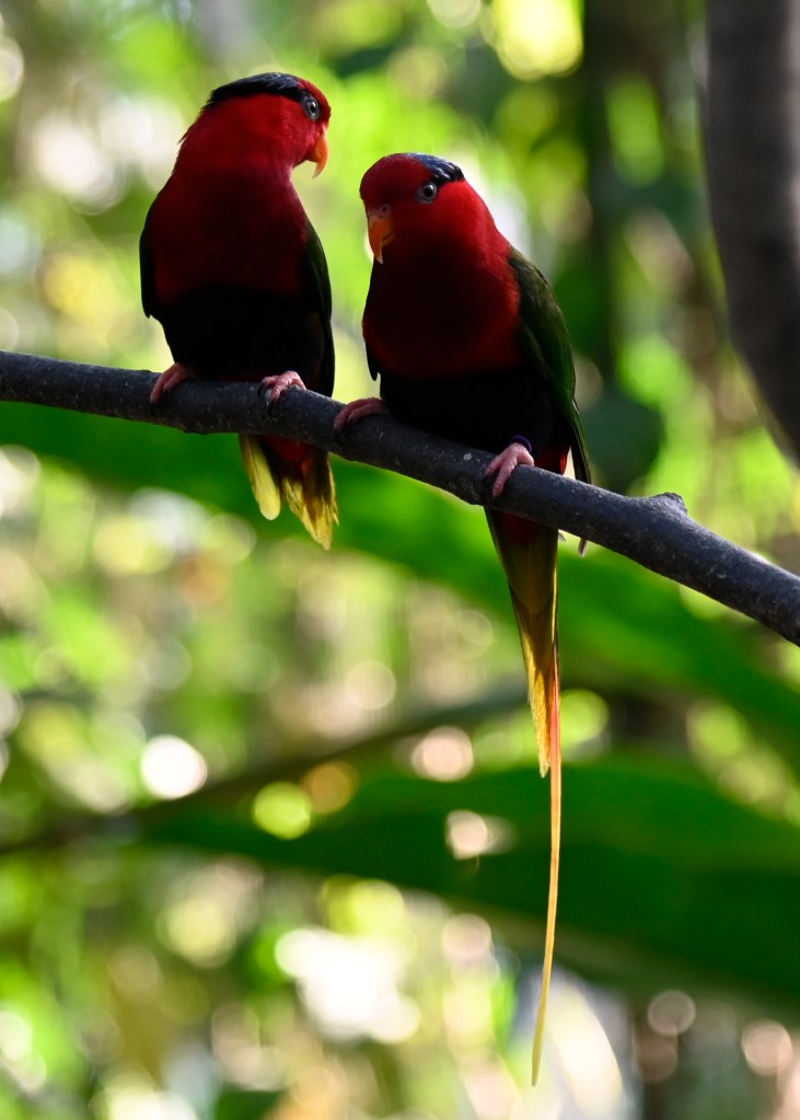
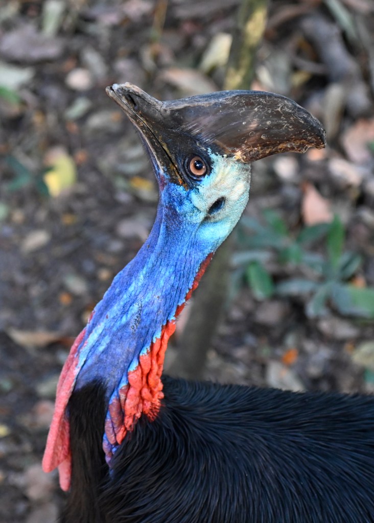
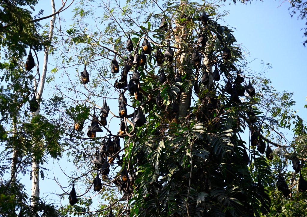
Yesterday, after arrival, we headed first to the National Museum & Art Gallery, where we saw quite a bit of traditional tools, headdresses, clothing, artwork, tools, and totems, followed by a visit to the Port Moresby Nature Park, where we had a chance to see part of their collection of more than 35 indigenous animal, bird, and reptilian species.
It was a long day – so we had a relatively early dinner in time for a good night’s rest before the next day’s 6 a.m. departure to go birdwatching in the wild.
(Clicking on an image below will enlarge it in a new window).


Fantastic writing and photos Fred! My dad served in PNG in WW2. It’s great to read and see this place. Thanks Fred!
LikeLiked by 1 person
Thanks a ton Ed – so glad you’re enjoying this. Do you know what years and where in PNG your dad served?
LikeLike