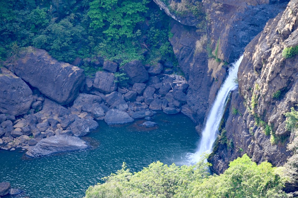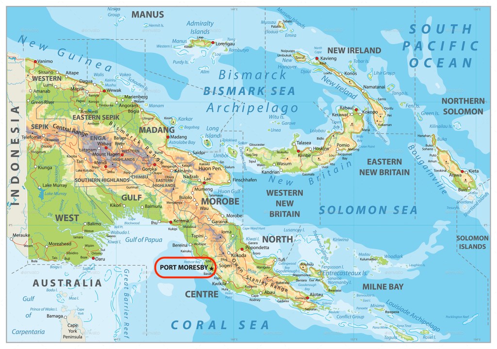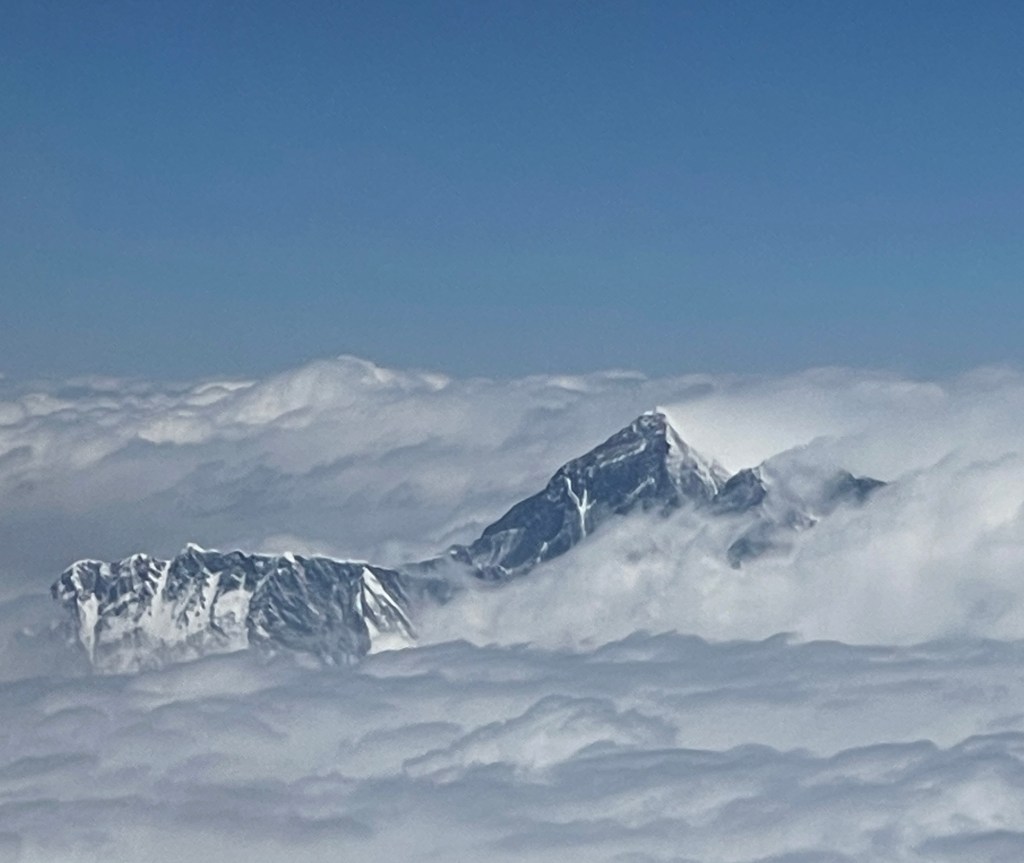
It was a 5 a.m. wake-up at our Port Moresby hotel to head out to the Varirata National Park, about an hour drive that took us along twisty paved roads, through an assortment of traffic circles, and past small homes on stilts, market stands, power plants, gorgeous views of the low mountains and valleys with rivers at the bottom, a couple of waterfalls, morning mist at the top of the mountains, and the Pacific Beer Brewery. The stilted homes are designed to help air circulation around the buildings, critical in warm and humid summer months, but that space below also is used to dry laundry and store an assortment of things.
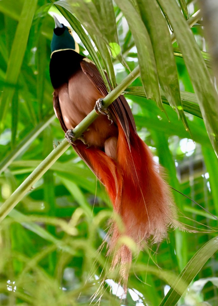
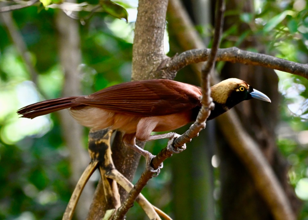
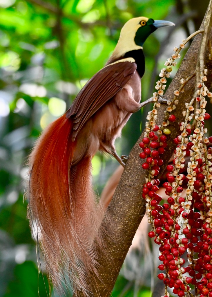
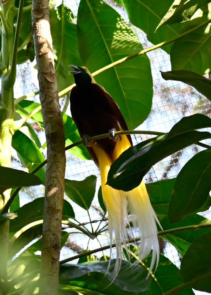
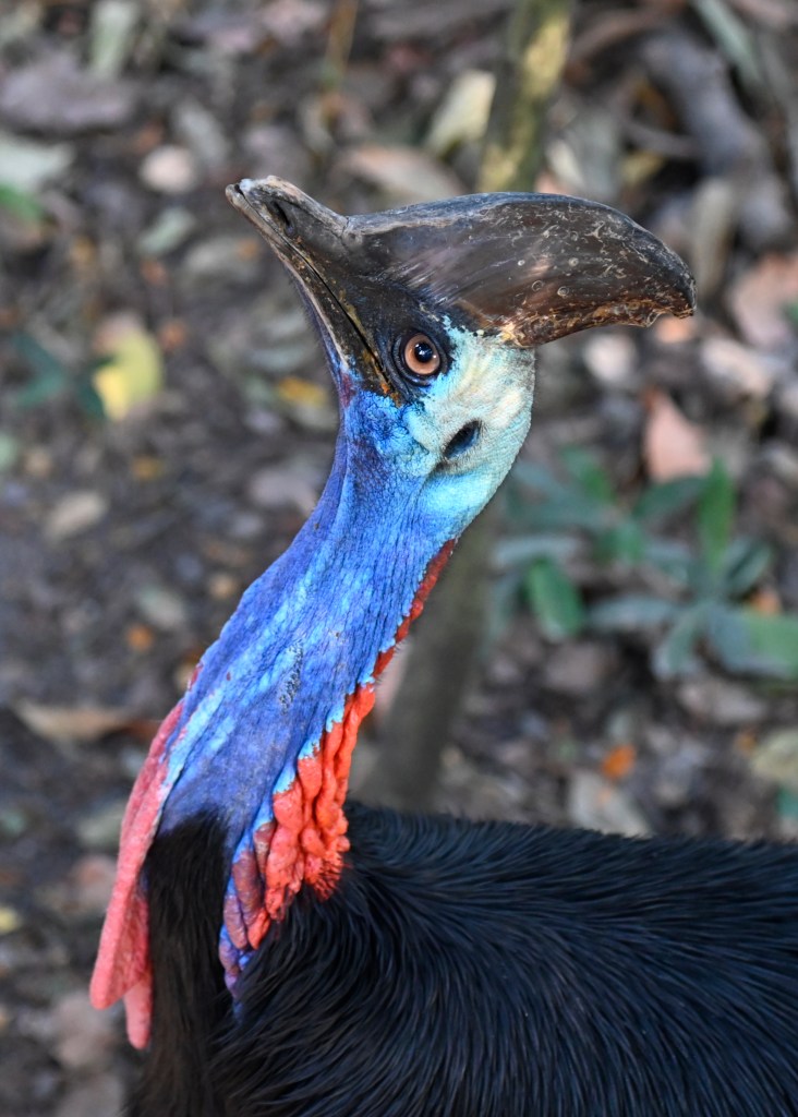
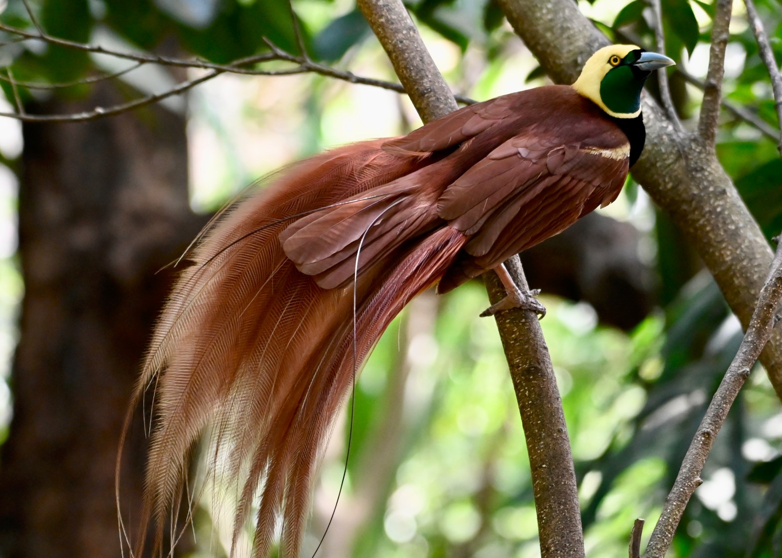
The Park goes up to about 2,500 feet, and our purpose for being there was to see birds-of-paradise in the wild. Birds-of-paradise are best known for the amazing plumage on the males, as well as for the mating dances they perform to attract females. While we saw a couple of them the prior day, this was a chance to see more. PNG is home to over 850 species of bird, with just a few over 100 of them being only found here. I’m no bird photographer, but I had to try.
We lucked out. Our tour director told us she’s been there a number of times when she saw nothing, but for whatever reason we were lucky to see three, four, five of them flitting about in the trees. And, frankly, the flitting and the trees are part of the problem in photographing them, as well as the fact that the group we saw chose to stay high-up in the canopy, meaning we were snapping away while our necks cramped. But boy was it fun.
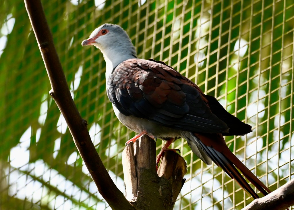
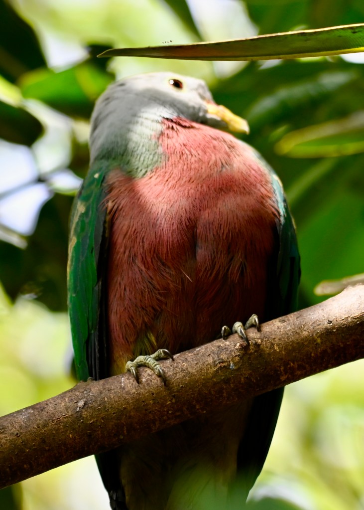
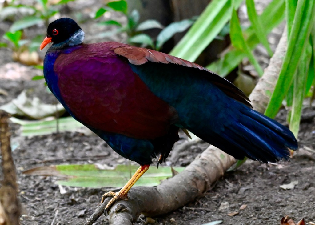
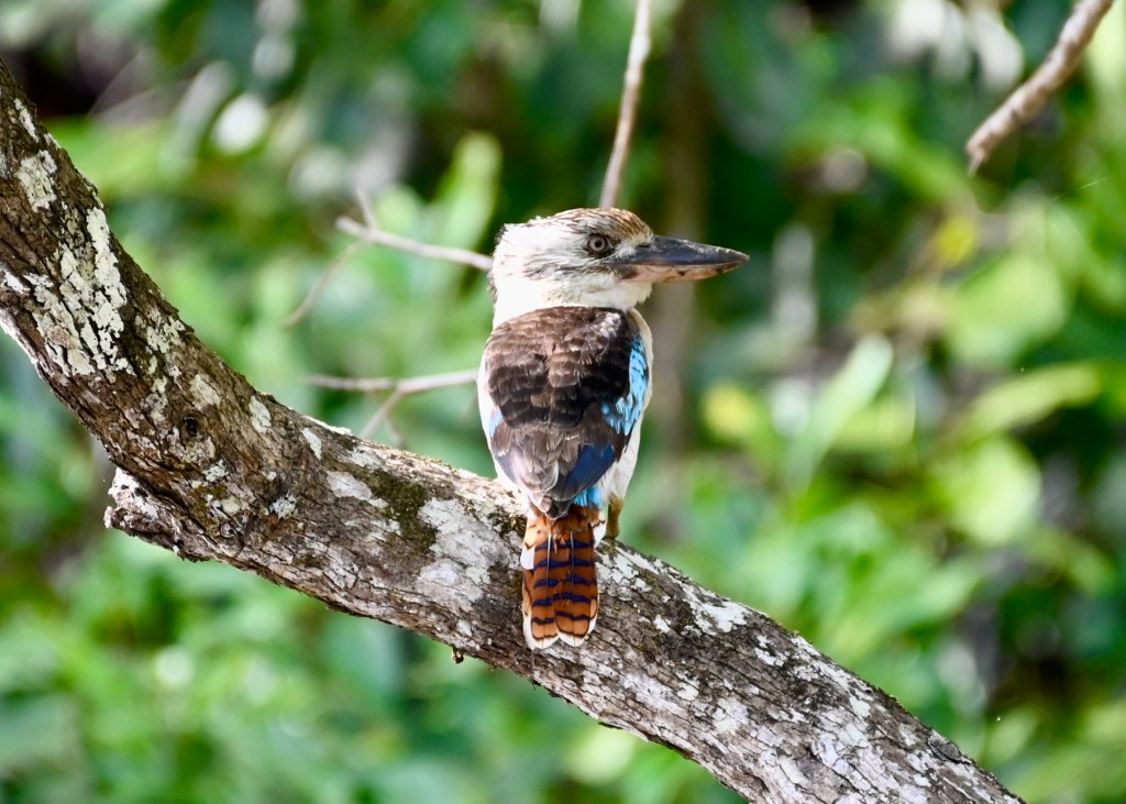
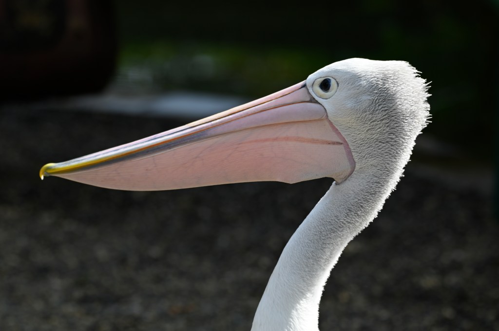
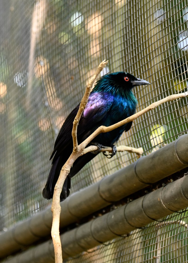
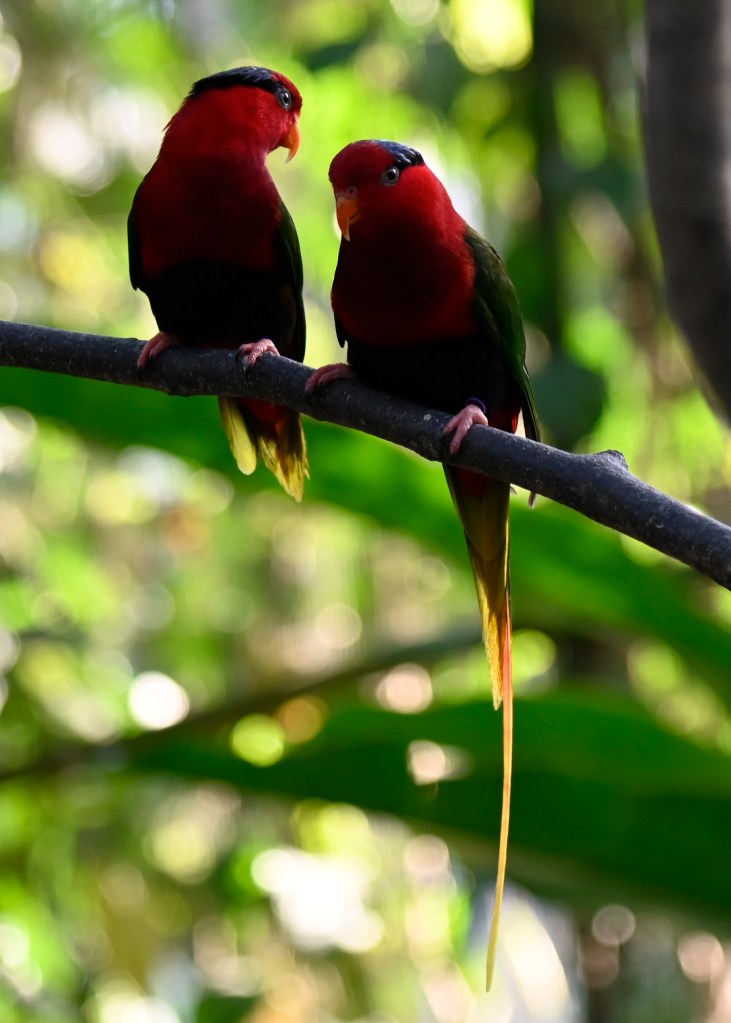
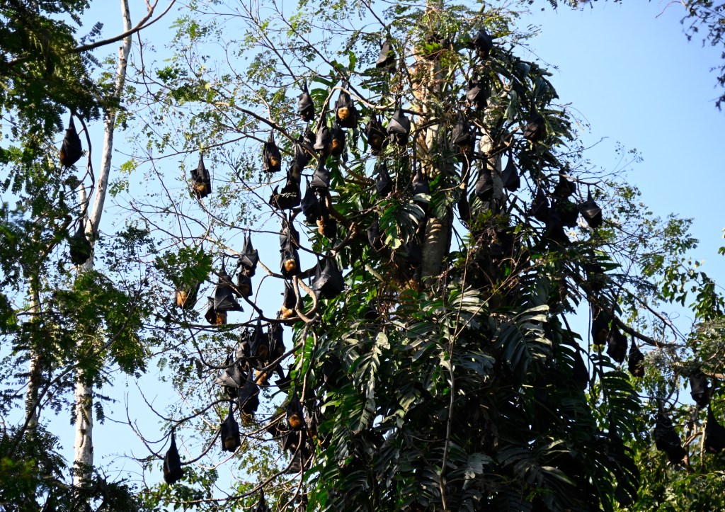
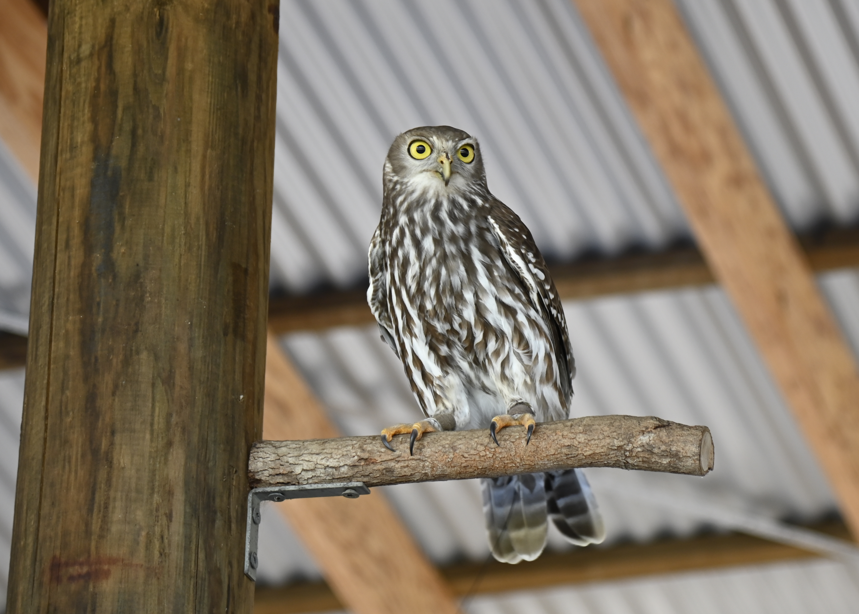
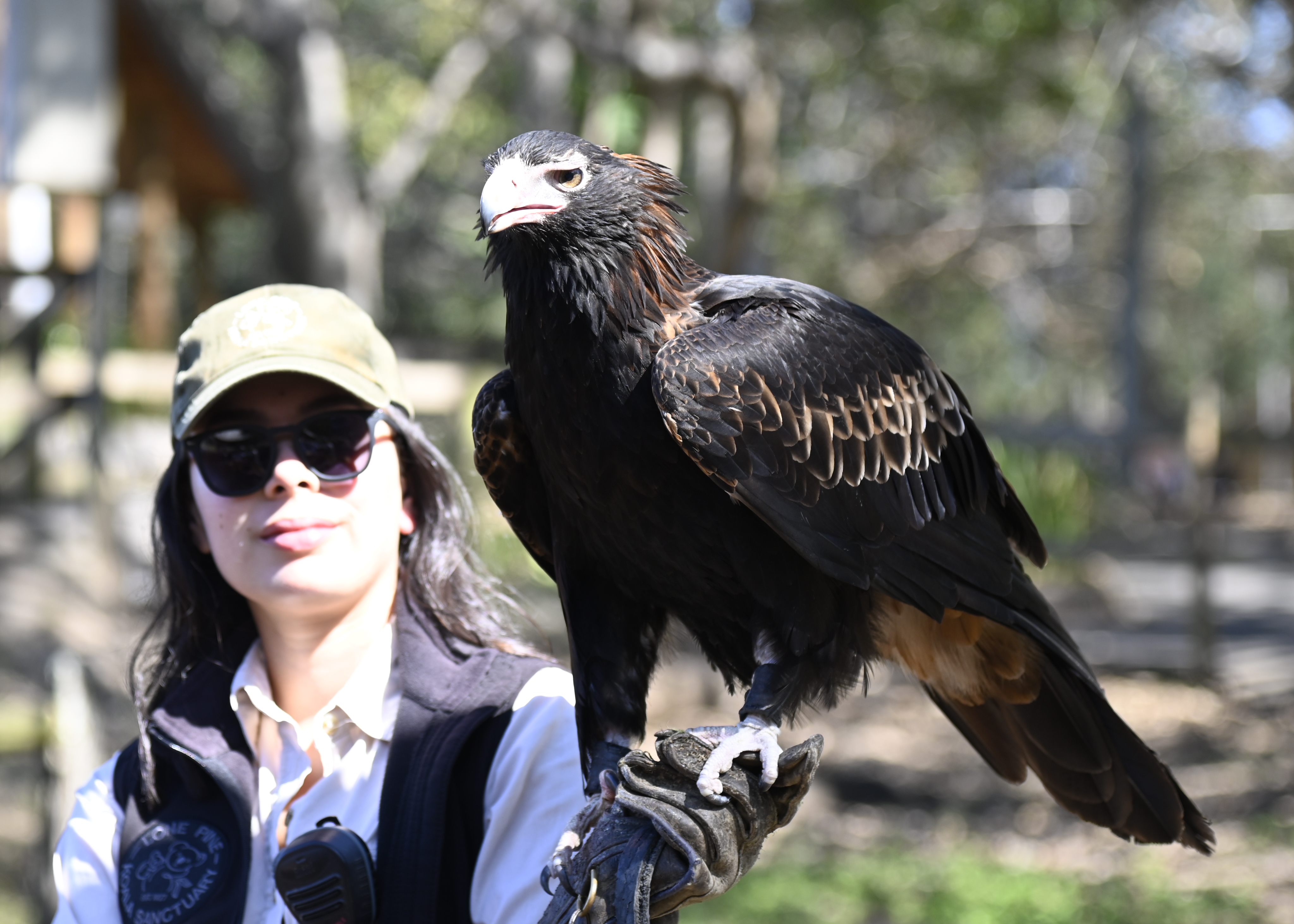
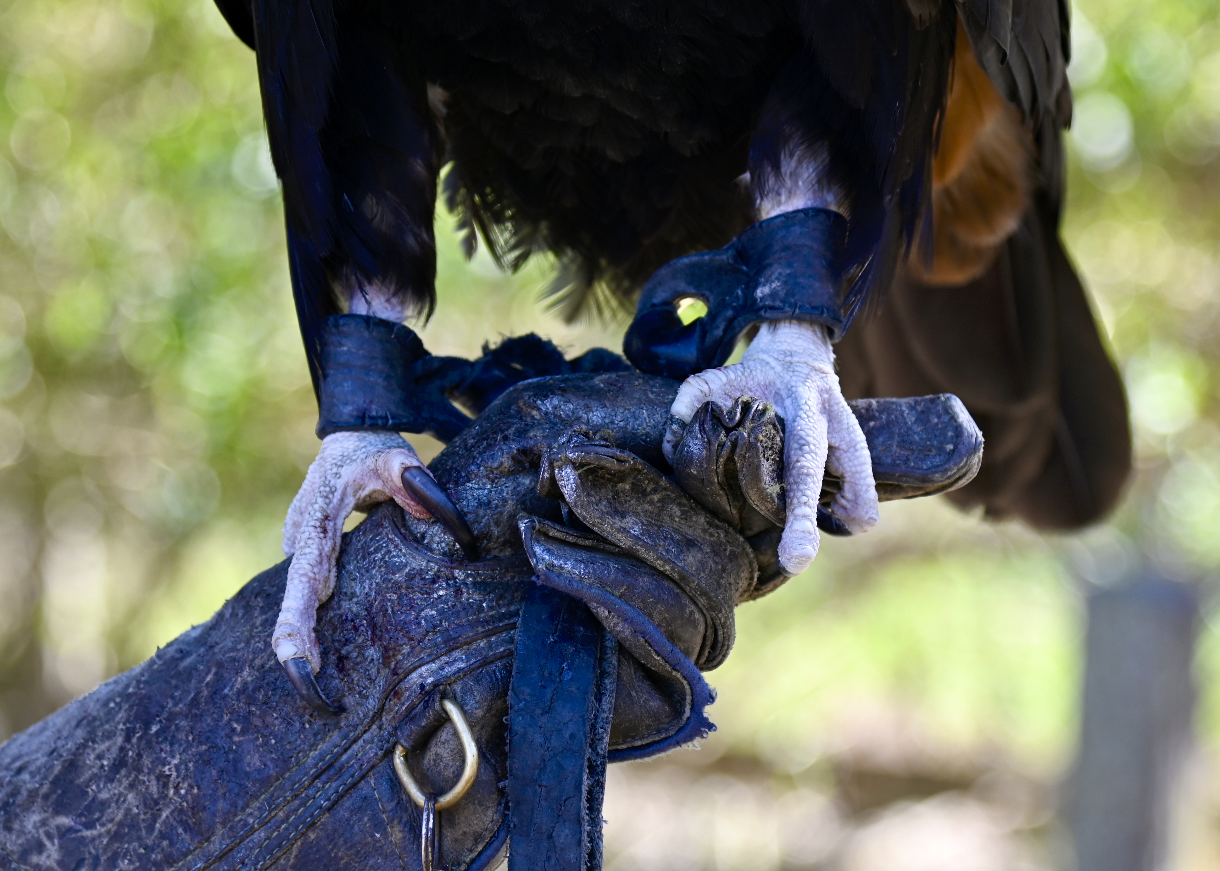
From there we headed off to an amusement park that also has on its grounds the National Orchid Garden and Bird Sanctuary. Here was a chance to ride a ferris wheel (which we didn’t do), take a spin on the carousel (again, a “no”), and fly down the water slide (nope). Instead, we spent our time admiring the flowers and seeing a wide variety of birds.
When we first entered the park, our local guide disappeared on us. About 10 minutes later he re-appeared, this time carrying a small set of branches with fresh berries hanging off of it. He explained that he went off to climb a tree and grab what we saw him return with so that, when we entered the enclosure where the birds of paradise were, he’d hang it to attract them and other birds. It worked.
We probably hung there for an hour, looking at the birds, looking for the best photo opps and, once again, continuously stymied by restless birds, lots of leaves and branches, and a high canopy. But it was a blast nevertheless.
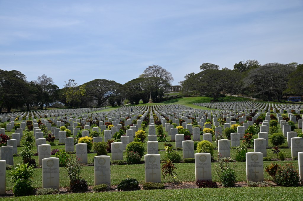
As all good things must come to an end, we left the Sanctuary to head on to the Bomana War Cemetery, where more than 3,800 soldiers from World War II are buried. The vast majority are from the Kokoda Campaign in 1942, and of those the vast majority are Australians, with a handful of British and Americans, and close to 700 graves for unknown soldiers. There’s a ceremony each year on Anzac Day (in April) to commemorate those lost. The cemetery is beautifully maintained, and the gravestones marked with soldiers who died at 18, 19, 20, and older is a reminder of the stark realities and sadness of war.
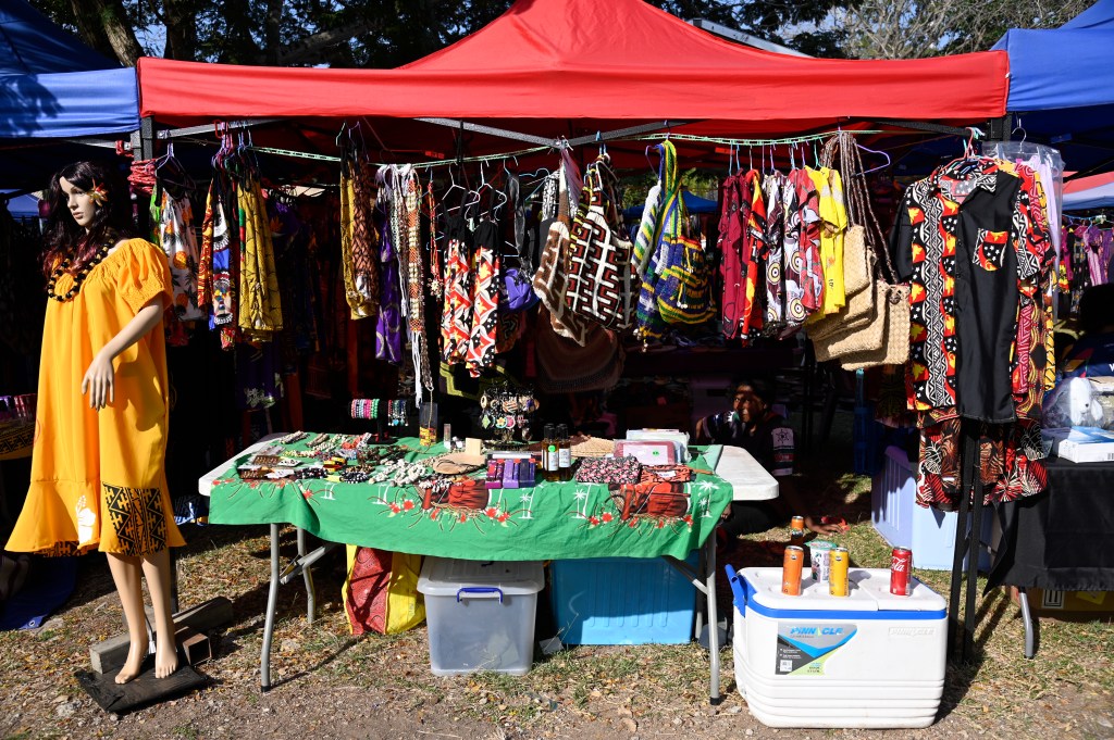
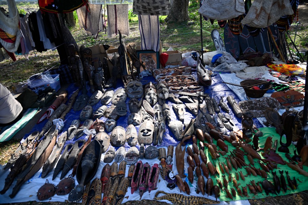
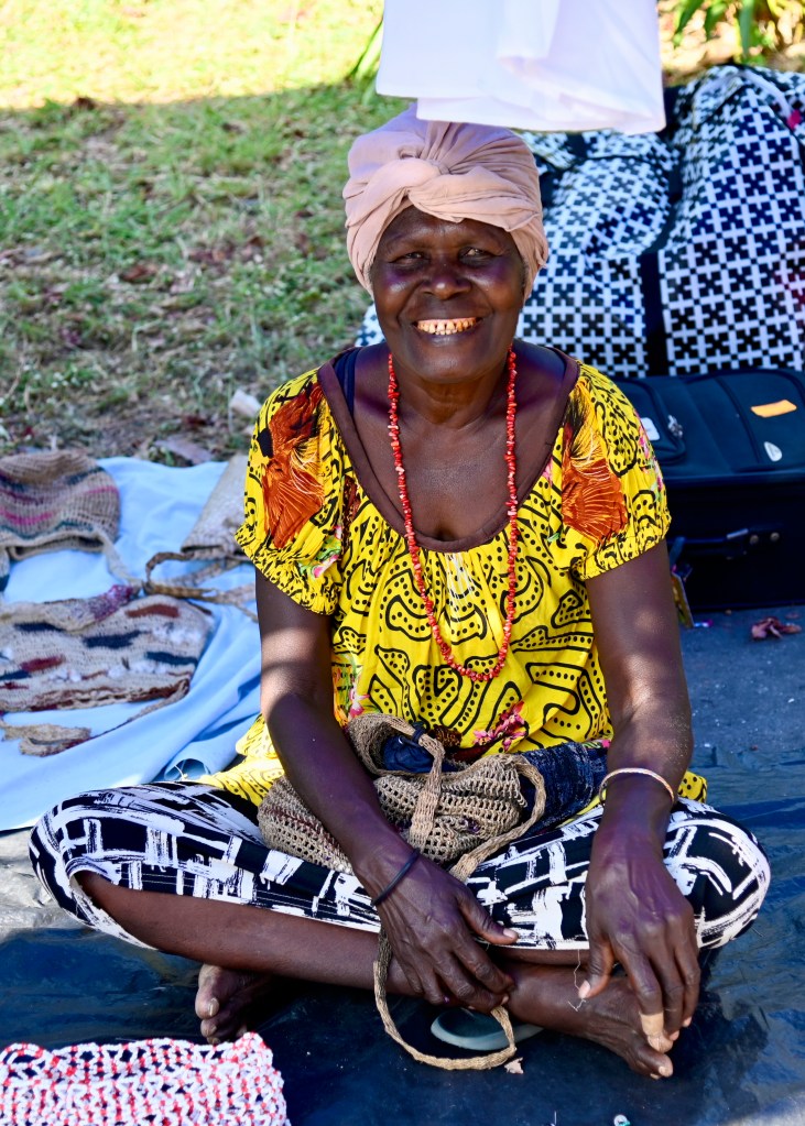
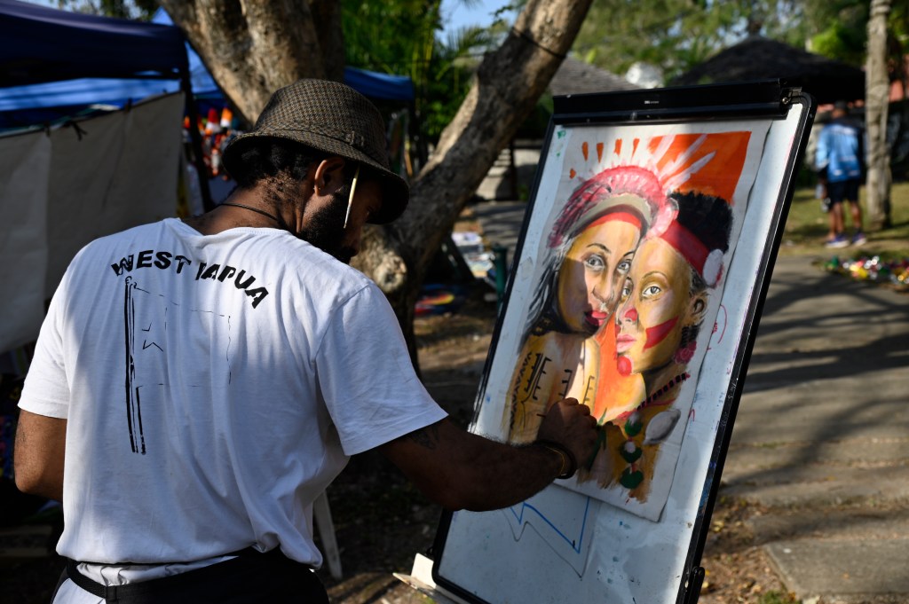
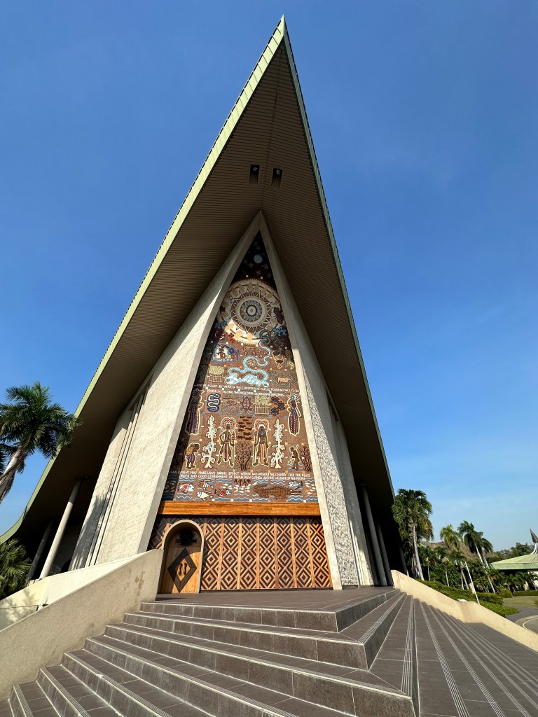
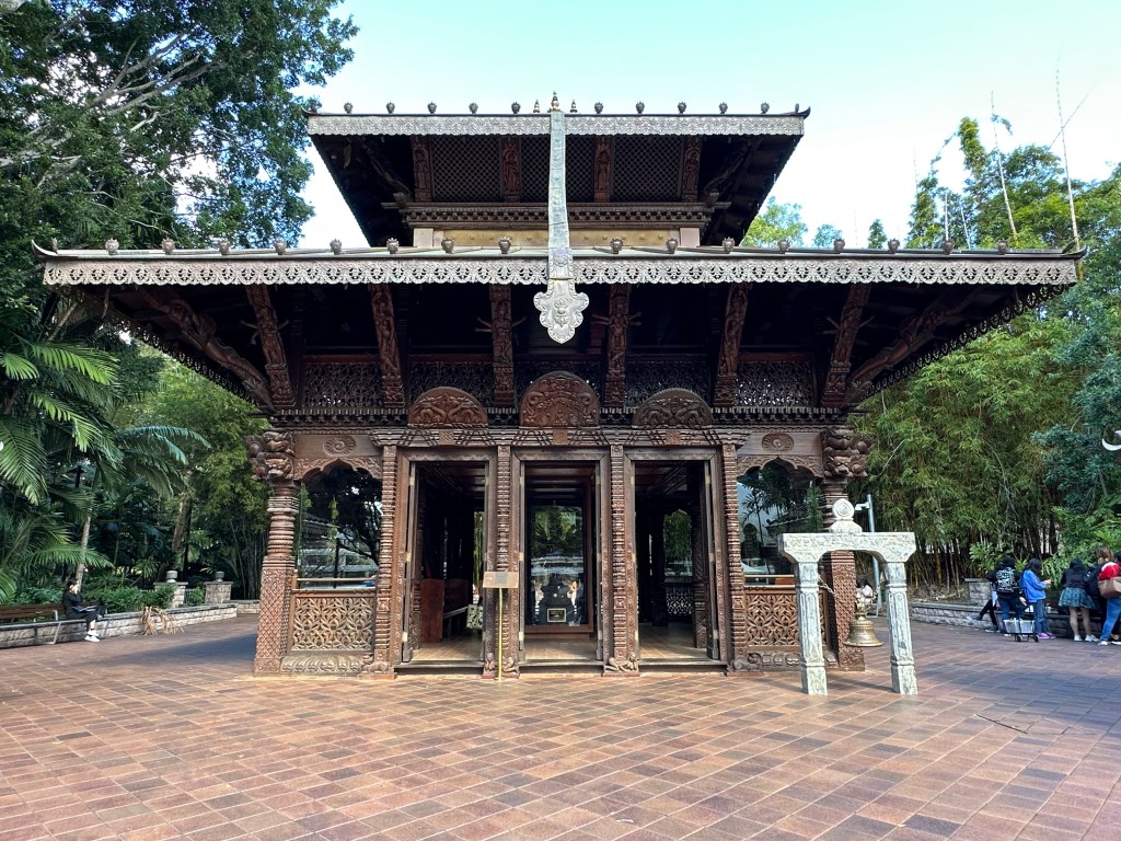
After lunch, we headed to the PNG Parliament building where we had a private tour by the Principal Attendant and had a chance to sit in the viewer’s gallery (though Parliament was not in session) . He told us about the building itself (opened in 1984), the make-up of parliament, and a variety of traditions and current issues. Our last stop for the day was a Saturday market outside of the PNG National Gallery – paintings, carving, food, clothing, jewelery, trinkets, and lots of locals socializing while they listened to music from the US played on a large sound system. We walked in while Los Lobos’ version of “La Bamba” was playing.
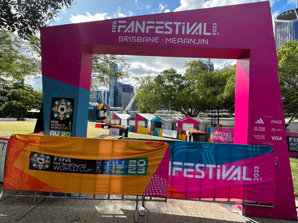
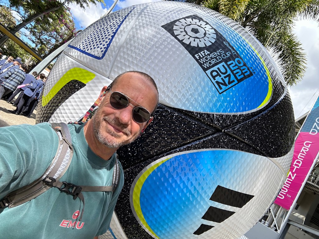
And, in a great way to end the day, we watched the Australian women beat France in a shoot-out to decide who would go to the FIFA Women’s World Cup Semi-finals. And while that was going on, I got some made-to-order cotton candy.
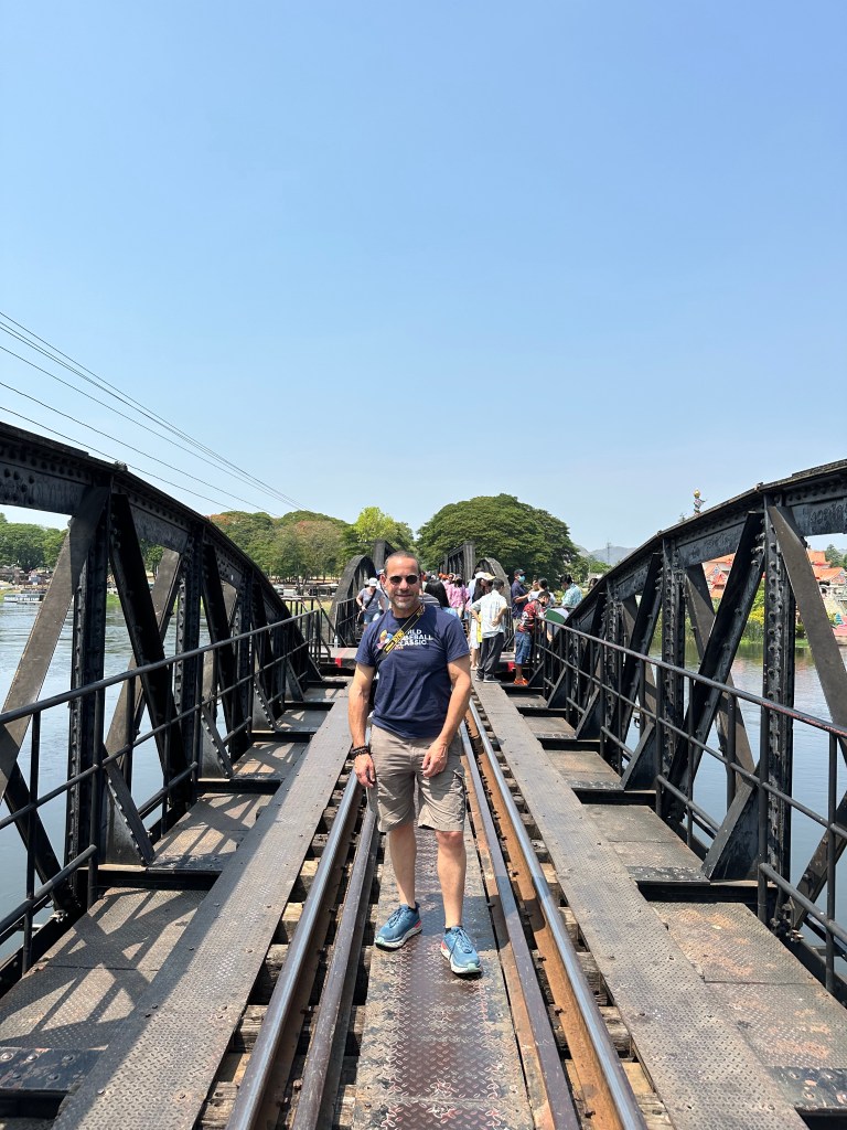
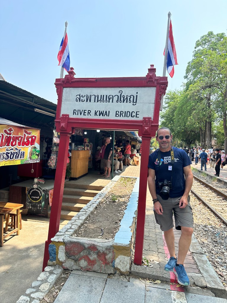
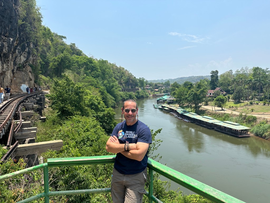
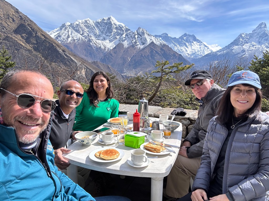
(Clicking on an image below will enlarge it in a new window).