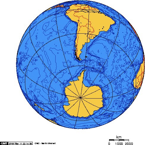
A little orientation – and this is fun to look at on an actual globe if you own one. I flew to Buenos Aires first. I arrived a day early and spent that day by myself, then joined my tour group from Abercrombie & Kent (A&K) before spending one more day in Buenos Aires. From there we took a charter flight to Ushuaia, the southernmost city in Argentina – right at the tip of the continent. From there we would take a boat to the Antarctic Peninsula, that spit of land sticking out across from South America. That is the closest Antarctica is to any other continent.
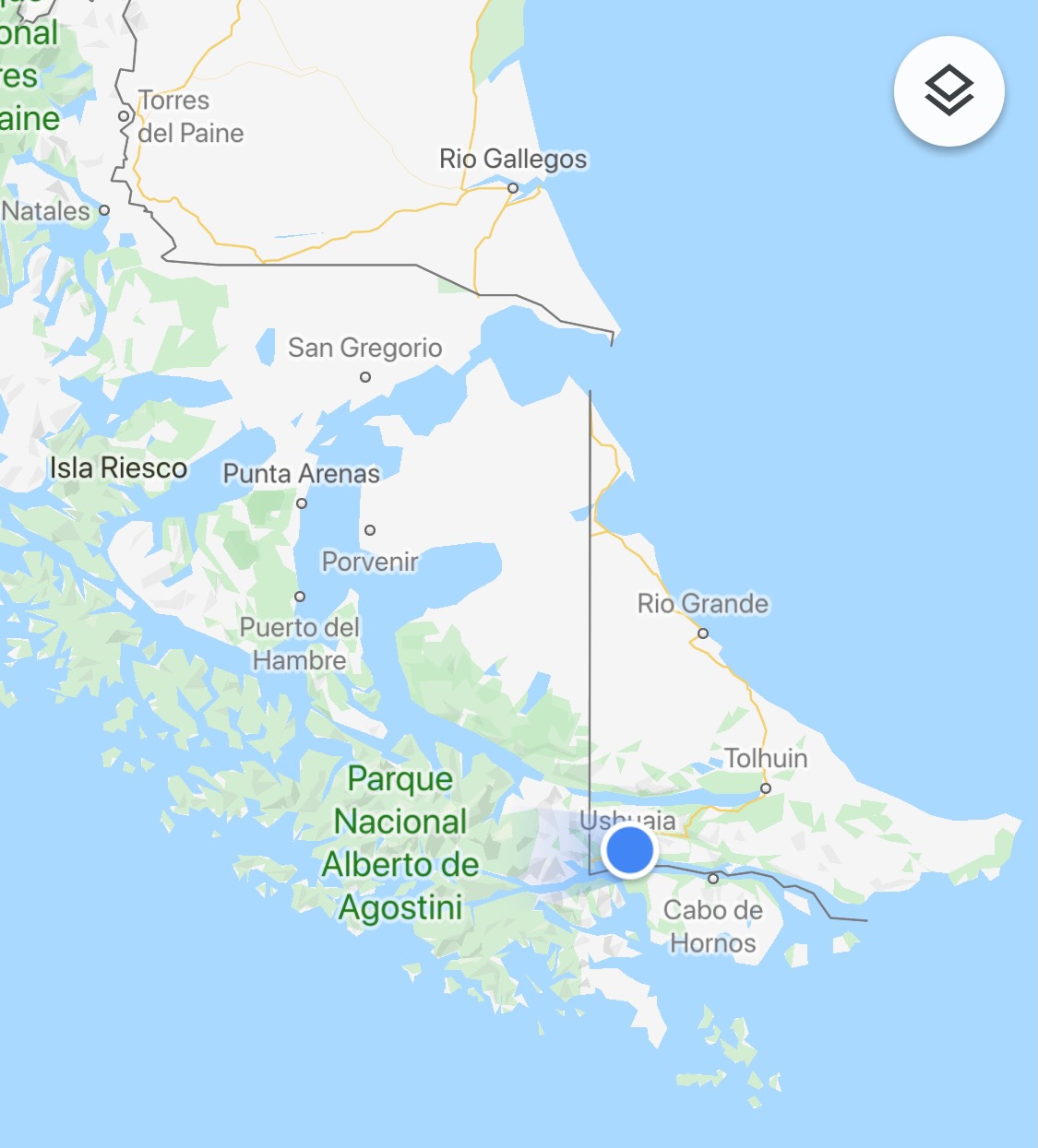
Taking a look at the middle map above, you can see where Ushuaia is – just on the edge of the Argentinan border, with Chile on the other side. Temp in Ushuaia was around 45 degrees, with snow in the mountains to the West. You can see the “Cabo de Hornos” – the Cape Horn. The border between the two countries that runs east/west just above the Cape runs through the Beagle Channel. We’d pick our ship up in Ushuaia, then journey through the Channel toward the Drake Passage, the water way between South America and Antarctica where the Atlantic and Pacific oceans meet, and churn.
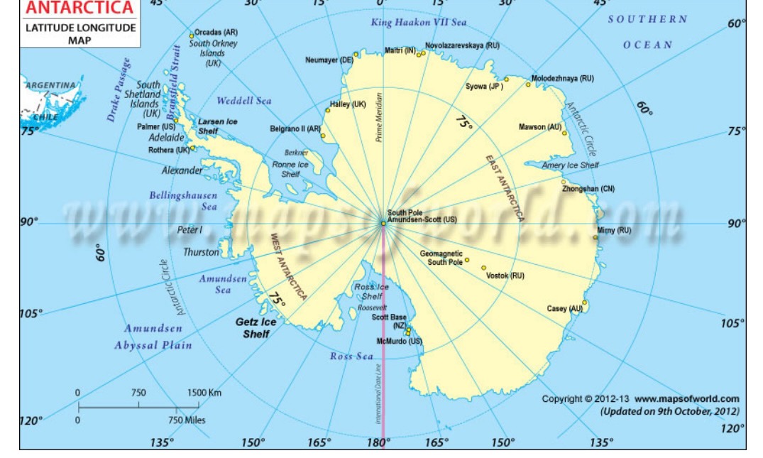
The map on the far right shows the Antarctic Peninsula we’d be visiting – in the upper left of the screen; you can see where the Drake Passage is marked just to the west of the Peninsula. Just to the East of the Peninsula is the Weddell Sea, which is where Ernest Shackleton’s boat – the Endurance – was trapped in the sea ice. The US research station – McMurdo – is in the bottom middle, with the South Pole being smack in the middle of the continent.
